ChatGIS

ChatGIS is a GPT designed to provide expertise in the fields of Geographic Information Systems (GIS), PostgreSQL, PostGIS, programming and cartography.
Through this tool, users can explore various aspects of these technologies in an interactive chat format. The salient features of ChatGIS include the ability to answer user's queries on importing data into QGIS, explaining spatial analysis functions in ArcGIS, automating tasks in QGIS using Python, and comparing different geospatial software like QGIS and ArcGIS, among other functionalities.
Powered by ChatGPT technology, it is intended for anyone seeking to navigate their way through GIS, programming, and cartography. The convenience of interactive engagement makes ChatGIS an invaluable tool for learners, practitioners, and enthusiasts alike.
The tool, hosted at giseros.com, requires a ChatGPT Plus subscription and supports registration and login for user authentication. Additionally, the GPT welcomes users in Spanish, hinting at the potential for different language support in its service.
Releases
Pricing
Prompts & Results
Add your own prompts and outputs to help others understand how to use this AI.
-
866,402643v1.6 released 23d agoFree + from $12/mo
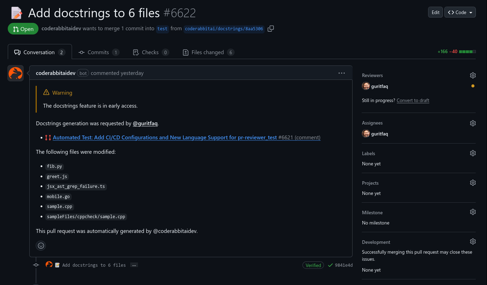
 Reducing manual efforts in first-pass during code-review process helps speed up the "final check" before merging PRs
 -
13,157107v2.1 released 2mo agoFree + from $45/mo
 This is the first AI marketing tool I’ve used that actually helps me get things done, not just suggest generic ideas. The mix of AI-powered strategy and real experts executing the work makes it feel like having a high-performance marketing team without the overhead
6 alternatives to ChatGIS for Geospatial analysis
-
AI-powered geospatial intelligence12,08773Released 1y agoNo pricingwas good but no longer accessible in there own words "available exclusively to qualified law enforcement agencies, enterprise users and government entities"
-
Monitor agriculture fields via satellite AI insights4,14031Released 2y agoFree + from $192/mo
-
Explore Earth's changes through AI-analyzed satellite imagery.2,80227Released 2y agoNo pricing
-
Transform geospatial data into sustainable action.7998Released 2y agoNo pricing
-
AI-powered geospatial analysis for Earth's surface6225Released 2y agoFree + from $55.19/mo
-
 AI-powered geological analysis for smarter oil exploration1863940Released 7mo ago100% Free
If you liked ChatGIS
Featured matches
-
9776Released 5d agoFree + from $58.61/mo

Verified tools
-
4,73346Released 3mo agoFree + from $5This thing is actually insane. I uploaded a picture from a random hike I did years ago, and it guessed the location exactly. Not just the country but the exact trail. I have no idea how it works, but its pretty impressive.
-
17,27717v1.1 released 3mo agoNo pricing
-
 Discover your cosmic connections worldwide through astrocartography.Open6345Released 1mo agoFree + from $9.9Eh it's ok. You only get one question to test it out and the quality of the info you get in that one message is too lackluster to warrant going back for more, especially if you're into astrology and already know basic stuff. The aesthetic is fine. Some of the buttons are inexplicably disabled and the tooltips conflict with one another on the map, making it irritating to try to interact with the lines rendered on the map.


How would you rate ChatGIS?
Help other people by letting them know if this AI was useful.