
Satlas
Overview
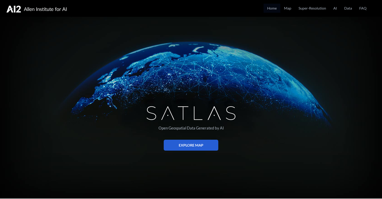
Satlas is an AI tool developed by AI2 (Allen Institute for AI) that allows users to explore and analyze changes happening on Earth through AI-annotated satellite imagery.
The tool utilizes monthly geospatial data to reveal changes in various aspects such as marine infrastructure, renewable energy infrastructure, and tree cover.
Users can observe specific examples like offshore wind farms in China and Denmark, deforestation in the Amazon Rainforest, logging in Washington State, and wind farms in Scotland.One of the key features of Satlas is Super-Resolution, where AI models enhance low-resolution satellite imagery to produce high-resolution images on a global scale.
This functionality helps users to visualize details of specific locations with improved clarity. The AI models employed in Satlas utilize cutting-edge architectures and training algorithms, leveraging a large-scale remote sensing dataset called SatlasPretrain, which contains over 30 TB of imagery and 300 million labels.Satlas provides freely accessible AI-generated geospatial datasets and allows users to download them for offline analysis.
The tool also releases AI models and training labels to facilitate further research and development. The development of Satlas is led by a team at Allen Institute for AI, which aims to advance computer vision capabilities to create AI systems that can understand and reason about the world.Overall, Satlas is a powerful tool for exploring and understanding Earth's changes through AI-annotated satellite imagery, providing valuable insights into various aspects of our planet's transformation.


How would you rate Satlas?
Help other people by letting them know if this AI was useful.