How does HappyRobot extract data from geospatial imagery?
HappyRobot utilizes advanced algorithms and machine learning techniques to autonomously analyze geospatial imagery and extract valuable data. The tool allows users to interactively input queries through natural language, easing the exploration and understanding of the data extracted.
Can I upload my own images to HappyRobot?
Yes, you can upload your own images to HappyRobot. Alternatively, you can source images from the tool's partners.
Can I describe objects of interest using natural language with HappyRobot?
Yes, with HappyRobot, you can use natural language to describe objects of interest within your dataset.
What are the export options provided by HappyRobot?
HappyRobot provides a variety of export options for the extracted data. You could choose to receive the data via Email, Pdf, ArcGis, or API.
Who typically uses HappyRobot and for what purposes?
HappyRobot is trusted by leading data teams. It’s typically used for urban planning, environmental monitoring, and various other geospatial applications.
How does HappyRobot use natural language queries?
HappyRobot uses natural language queries to facilitate user interactions. Users can query the system with descriptions of objects of interest, and the system applies these queries to analyze and extract data from entire datasets.
What are the benefits of using HappyRobot for geospatial applications?
The benefits of using HappyRobot for geospatial applications include the ability to transform geospatial imagery into structured data for decision-making, the ease of interactive exploration through natural language queries, and the potential to monetize data assets through partnerships.
How can data owners monetize their assets with HappyRobot partnership?
Data owners can monetize their assets by partnering with HappyRobot. This involves building AI models and establishing trust, which can generate recurring revenue streams.
Is HappyRobot useful for urban planning and environmental monitoring?
Yes, HappyRobot is very useful for applications like urban planning and environmental monitoring. By transforming geospatial imagery into structured data, it can help make informed decisions crucial to these fields.
How reliable and efficient is HappyRobot in data extraction from imagery?
HappyRobot is both reliable and efficient in data extraction from imagery. It utilizes advanced machine learning techniques and algorithms to analyze and extract data, and it's trusted by leading data teams.
Who are some of HappyRobot's trusted partners?
HappyRobot's trusted partners include Satellogic, Skywatch, ASL from ETH Zurich, Izertis, and Credium.
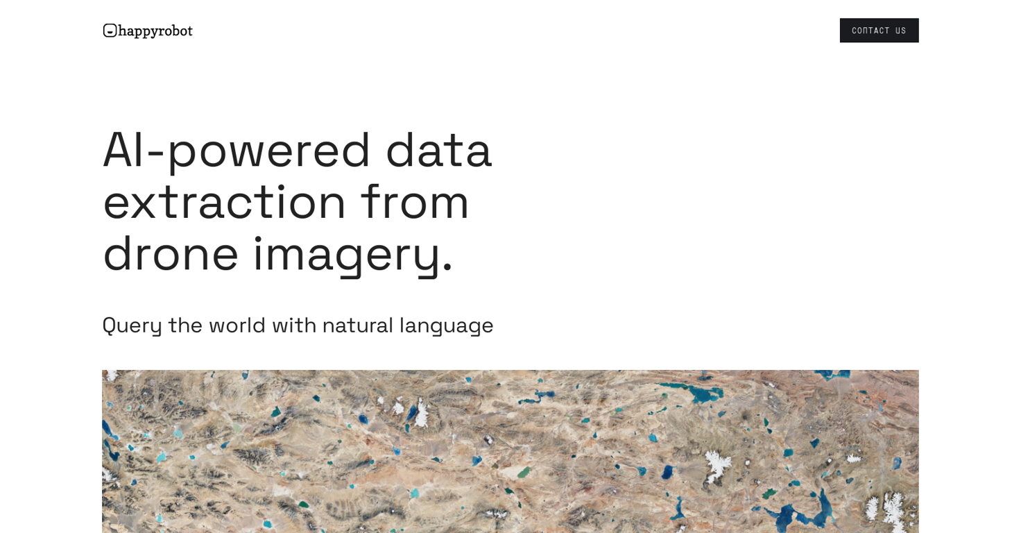
What kind of images can HappyRobot process?
HappyRobot can process various types of geospatial images, including satellite, drone, and aerial imagery.
How does HappyRobot enable exploration of the world through queries?
HappyRobot enables exploration of the world through queries by setting up a system where users can input natural language to describe objects of interest. These user-defined characteristics are then applied to the entire dataset for data extraction.
In what formats can I receive my extracted data from HappyRobot?
The extracted data from HappyRobot can be received in a variety of formats. These include Email, Pdf, ArcGis, or API.
Can I utilize HappyRobot for decision-making purposes?
Yes, HappyRobot can be utilized for decision-making purposes. The AI tool transforms geospatial imagery into structured data that can be used to drive decisions.
How does HappyRobot handle data privacy and security?
Though specific information about data privacy and security isn't provided, HappyRobot states it is backed by Linkedin, suggesting it upholds a high level of data privacy and security.
How can I get in contact with HappyRobot?
You can get in contact with HappyRobot through the 'contact us' option on their website.
What is the meaning of 'AI copilot' in the context of HappyRobot?
'AI Copilot' in the context of HappyRobot suggests the tool's interactive and supportive role in data extraction and analysis. Like a copilot, it assists users in navigating the data extraction process, making it smoother and more efficient.