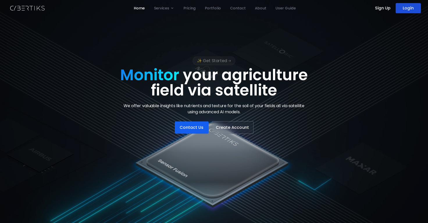
What is Cybertiks?
Cybertiks is an AI-based tool that harnesses the potential of satellite and drone imagery to provide precise agricultural analysis. It detects which plants are growing or can be grown in a given field, measures their water availability, nutrients, erosion, soil quality, pollution, and plague levels. Cybertiks also monitors human activity, oil spills, and leakages via satellite. It is capable of modeling land topography for construction or infrastructure projects, and uses AI to correlate large amounts of data, generating customized reports and necessary information for clients.
What industries does Cybertiks serve?
Cybertiks serves a broad range of industries, including but not limited to, agriculture, mining, oil and gas, and construction. It caters to any enterprise that stands to benefit from geospatial analysis and industrial application of AI.
How can Cybertiks help in agriculture?
In agriculture, Cybertiks can detect which plants are growing or can be grown in a specific field. It measures various metrics such as water availability, nutrients, erosion levels, soil quality, pollution levels, and plague levels. This enables more efficient and sustainable farm management practices.
What capabilities does Cybertiks offer for the mining industry?
For the mining industry, Cybertiks is able to detect the total supply of specific natural and mineral resources in a given location with a precision of 10 square meters. It provides crucial data for processes such as exploration and resource estimation.
How does Cybertiks utilize satellite or drone imagery?
Cybertiks uses satellite and drone imagery to gather data on a variety of metrics. This data is then processed and analyzed to provide insights across different sectors. Whether it's finding out which plants are growing or detecting human activity, the technology involves harnessing electromagnetic traces to provide detailed reports.
Can Cybertiks detect human activity?
Yes, Cybertiks can detect human activity. This capability is achieved through monitoring electromagnetic traces picked up via satellite radars.
How does Cybertiks monitor oil spills and leakages?
Cybertiks monitors oil spills and leakages by using satellite and drone imagery. This technology can detect signs of oil spills or leakages and provide valuable data for measures aimed at preventing or dealing with such incidents.
What information can Cybertiks provide on water quality?
Cybertiks can provide extensive information on water quality, including measurements of salinity, pH, temperature, nitrates, nitrites, phosphate, suspended solids, chlorophyll, and other metrics on any body of water larger than 10 square meters.
How does Cybertiks support construction and infrastructure projects?
In the construction and infrastructure sector, Cybertiks helps to evaluate progress, monitor waste deposits and model land topography. The data provided assists in project management, asset management, and operational efficiency.
How does Cybertiks integrate AI technology?
Cybertiks uses Artificial Intelligence to correlate large amounts of data and generate customized reports in short periods of time. It models information based on a client's specific needs, integrating multiple sources and formats that would not otherwise be feasible.
Can Cybertiks analyze any field in the world remotely?
Yes, Cybertiks can analyze any field in the world remotely. It harnesses the potential of satellite and drone data to provide precise analysis and deliver valuable metrics for users.
What kind of reports can Cybertiks generate?
Cybertiks generates customized reports based on large amounts of data correlated with the help of AI. These reports provide necessary information on various metrics like resource availability, environmental conditions, land topography, and more, according to client requirements.
What is Cybertiks SaaS offer?
Cybertiks offers custom SaaS solutions based on its expertise in frontend and backend architectures and implementations. These software solutions cater to clients' specific needs and challenges and incorporate Cybertiks' expertise in AI and remote sensing technology.
What is QSIS in the context of Cybertiks?
QSIS is a service offered by Cybertiks utilizing thermodynamic information captured by electromagnetic sensors to classify and quantify the presence of natural resources, elements, and minerals.
How does Cybertiks classify natural resources or elements?
Cybertiks classifies natural resources or elements according to their spectral signature, shape or category selected by the client. This process leverages the technology's ability to detect any mineral or element with a recorded spectrographic fingerprint.
Does Cybertiks offer solutions on land classification?
Yes, Cybertiks does offer solutions for land classification. By detecting different electromagnetic traces through satellite radars, it can identify human activity and other features associated with a specific land area.
What is unique about Cybertiks' approach?
What sets Cybertiks apart is its ability to harness the potential of satellite and drone imagery, using AI to analyze and correlate vast data sets. With precision and accuracy, it provides custom-tailored solutions that cater to a broad range of industries, with a focus on sustainable practices.
How does Cybertiks detect and synchronize data from different detection sensors?
Cybertiks detects and synchronizes data from different detection sensors. This process enables the consolidation of data from optical, radar, and other available sources to present a cohesive analysis.
How accurate is the AI model used by Cybertiks?
The AI model used by Cybertiks has an accuracy of 90%. This high accuracy level ensures reliable insights and allows clients to make informed decisions.
How long has Cybertiks been operating?
Cybertiks has been operating for 10 years. Over this period, it has completed more than 30 projects and provided reliable AI model accuracy.