
Cybertiks
Overview
Cybertiks is an innovative agtech solution that leverages the power of remote sensing, satellite data, and AI for precise agricultural analysis. Its primary aim is to transform the landscape of carbon farming and sustainable agriculture.
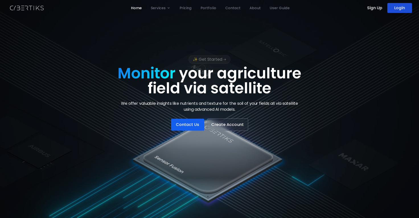
Cybertiks provides insights into soil nutrients and texture via satellite using advanced AI models. It specializes in delivering custom solutions to diverse industries worldwide and its key area of expertise is remote sensing of industrial requirements, realized by integrating AI models trained on a vast range of fields.
Cybertiks enables farming enterprises to analyze any field in the world remotely and derive necessary metrics. The platform's AI models, tailored for each metric, undergo rigorous testing and validation, promising a high degree of accuracy.
It also allows users to monitor their field status for analysis changes regularly. Cybertiks captures thermodynamic information from a range of electromagnetic sensors to classify and quantify natural resources, elements, and minerals.
The company also specializes in custom software development applying extensive experience in frontend and backend architectures and implementations. Cybertiks is unique by its integration of several sources of information to deliver a complete and strategic vision, verifying validations from industrial organizations, and data synchronization from various detection sensors.


How would you rate Cybertiks?
Help other people by letting them know if this AI was useful.